Be sure to read Part 1 for a trip overview.
Travel Dates: 4/15/11 through 4/18/11
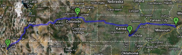
A: Chesterfield MO – Home
B: Wichita KS – Picked up Ian
C: Denver CO – Motel 6
D: Las Vegas NV – Motel 6
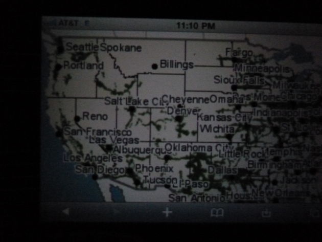
1,700 miles
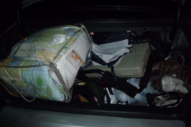
Underneath all of this junk crammed into the back of the Seville is my Trek bicycle. I removed the wheels and managed to squeeze in my tools, bicycle carrier, shoes, bike accessories, wheels, frame, and a crib sheet set for my friends in Spokane who were having a baby.
Because the weather changes dramatically in the spring from region to region, I brought additional clothes in a large cardboard box. Newton was confined to one half of the seat.
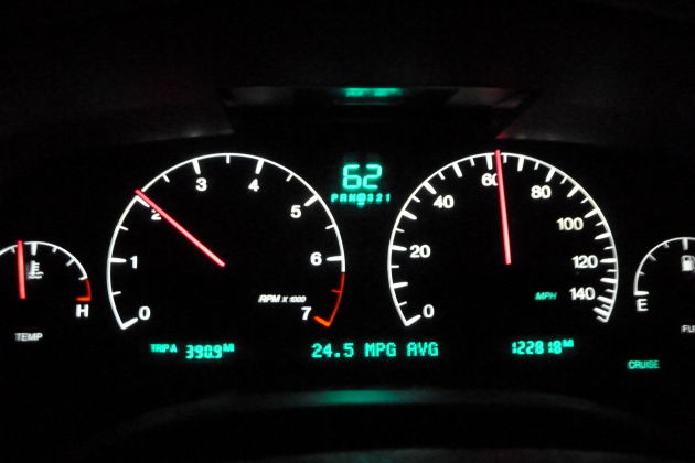
I headed to Wichita to pick up Ian. Averaged almost 25mpg.
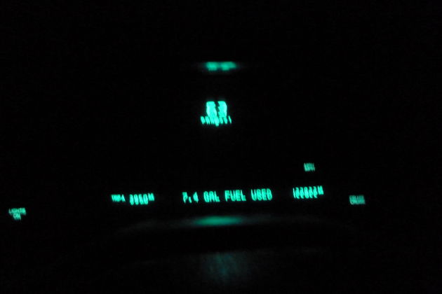
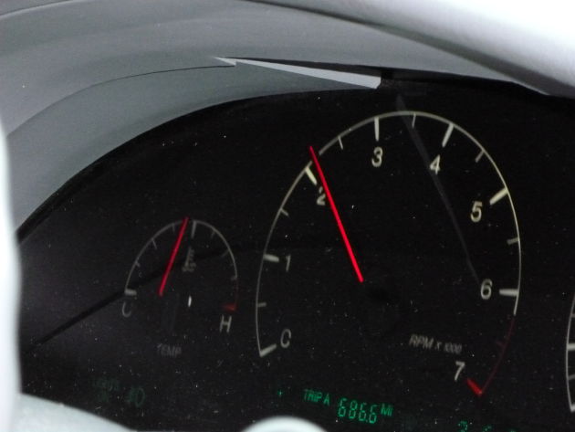
Influenced by Saab(?), the Seville’s instrument cluster has a night mode that disables the electroluminescent gauges. At night, it keeps the eyes focused on the road and relieves ocular fatigue.
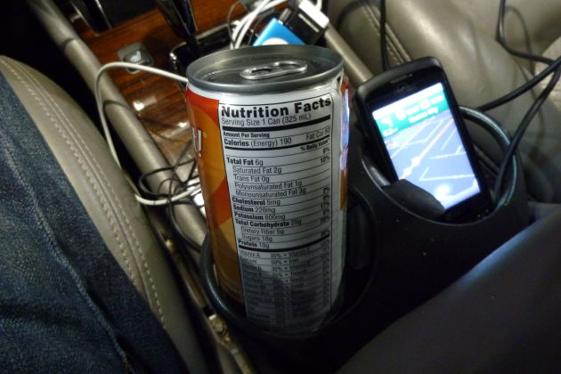
A Slim Fast from a gas station…
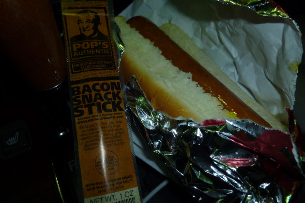
…which makes up for the lack of nutrients in this hot dog and meat stick. I really, honestly can’t explain why I keep eating gas station hot dogs.
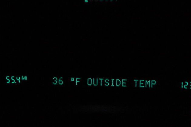
Getting chilly.
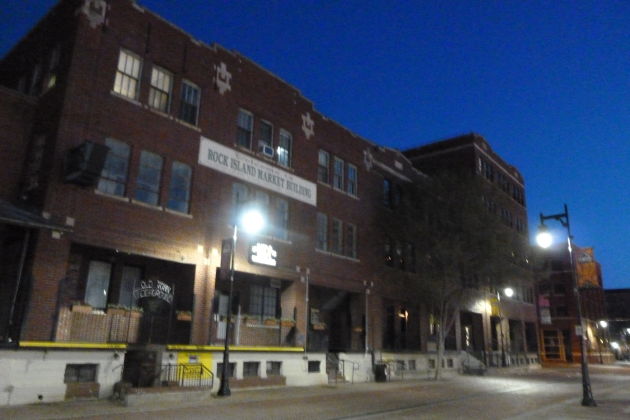
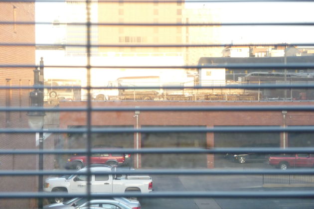
Ian was staying with his brother who lives in a new loft-style apartment in downtown Wichita, Kansas.
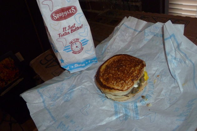
Went to Spangles, a local chain, for food.
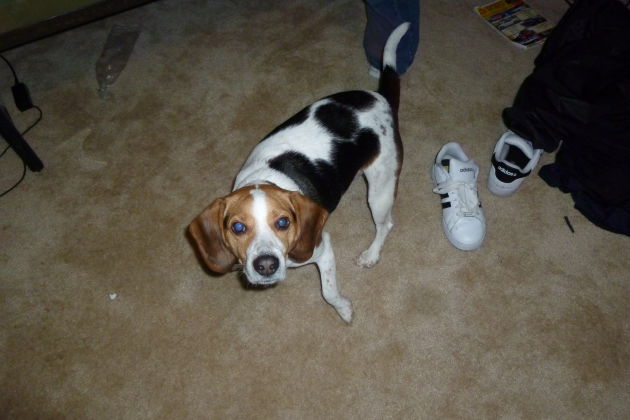
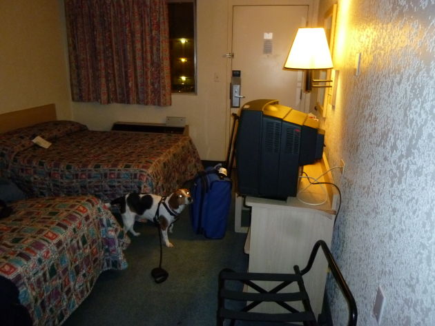
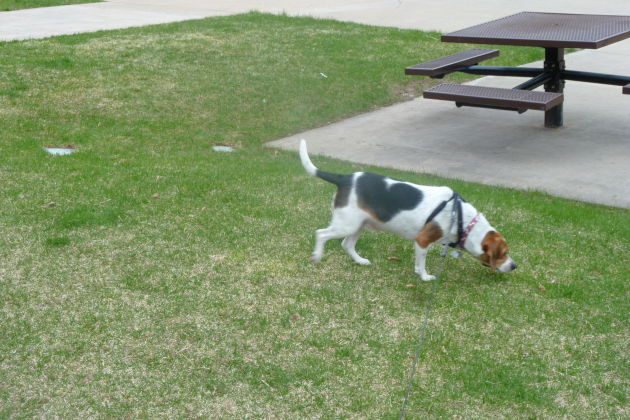
Got settled in. Newton sniffed around.
Railroad tracks nearby, close enough to watch trains but far enough to not be a nuisance.
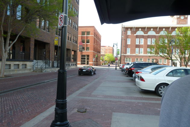
Beautiful neighborhood.
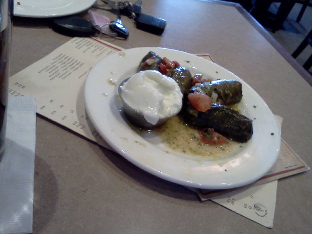
Stuffed grape leaves at Bella Luna, Wichita
I took his 2007 Cadillac Escalade and 2000 Ford Expedition for a drive and wrote up a brief review of each.
Out west, I ran into this problem quite frequently.
Virgin Mobile uses Sprint’s 3G network for coverage, but there is NO ROAMING. This is a non-issue east of Kansas City and south of Oklahoma City, but its unnerving elsewhere. I might get a TracFone for emergencies.
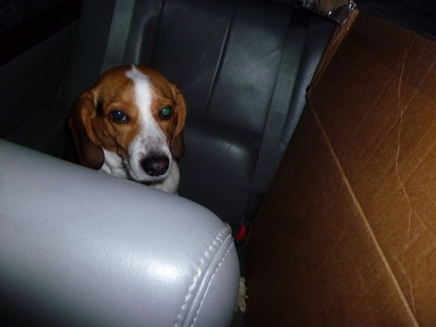
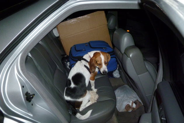
With Ian’s luggage added, Newton’s seating space was quite limited.
Somewhere in Colorado. Cheapest gas I saw on the entire trip.
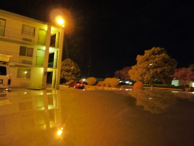
Arrived at a Motel 6 in East Denver, $50 with tax. The neighborhood was pretty shady and a bunch of noisy kids were hanging out on the balcony until 4am. I won’t be staying here again.
The room was clean at least.
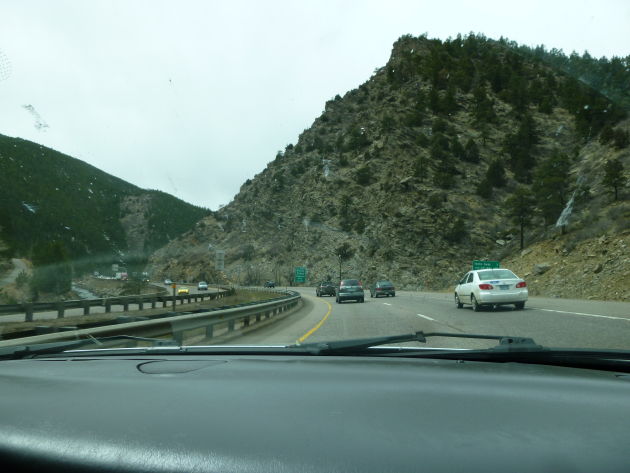
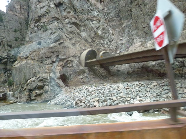
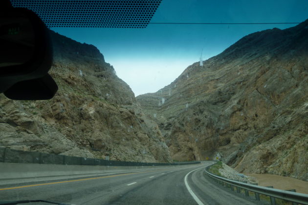
Headed east toward Utah on I-70. A beautiful, easy drive with lots of services, rest areas, and well-maintained roads.
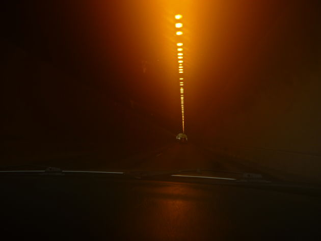
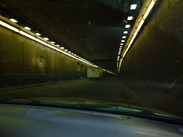
Lots of tunnels.
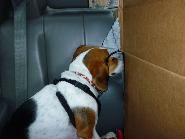
Newton had this weird habit of sleeping in an upright position, leaning against the back seat with his head behind the box.
Despite the Northstar V8’s reputation for head gasket problems, the temperature remained steady no matter how steep the mountains got.
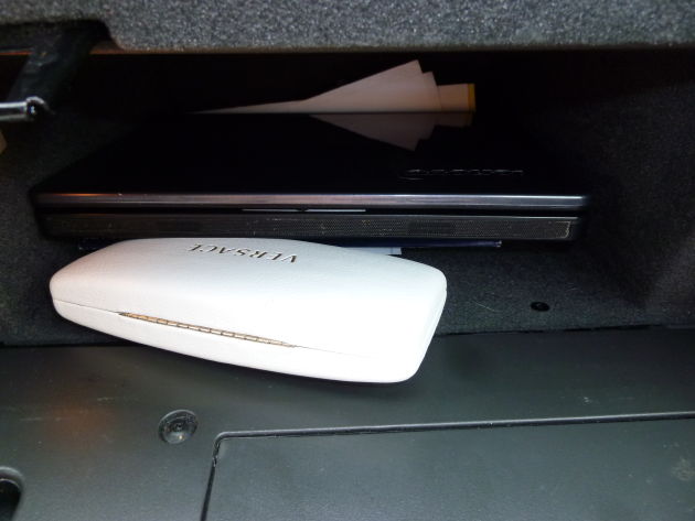
My Lenovo netbook and sunglasses fit in the glove box perfectly.
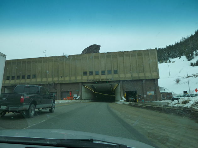
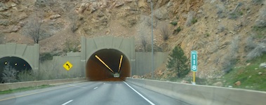
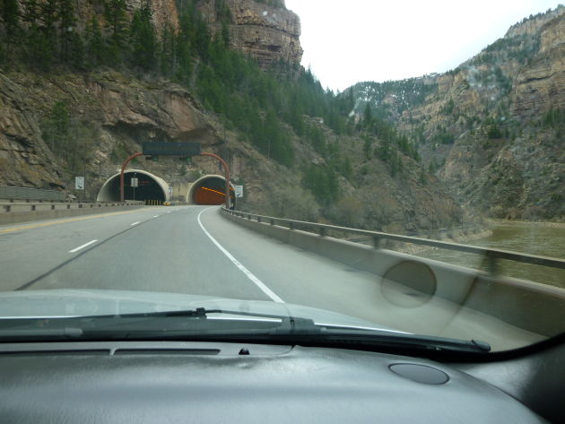
Eisenhower Tunnel — “The Eisenhower Memorial Tunnel is located approximately sixty miles west of Denver, Colorado on Interstate 70. It is the highest vehicular tunnel in the world, located at an elevation of 11,013 feet at the East Portal and 11,158 feet at the West Portal. The Tunnel traverses through the Continental Divide at an average elevation of 11,112 feet. The facility lies entirely within the Arapaho National Forest and is divided by two counties, Clear Creek County at the East portal and Summit county at the West portal.”
“The length of the westbound (north) tunnel is 1.693 miles, and the length of the eastbound (south) tunnel is 1.697 miles (outside face to outside face of the ventilation buildings).”
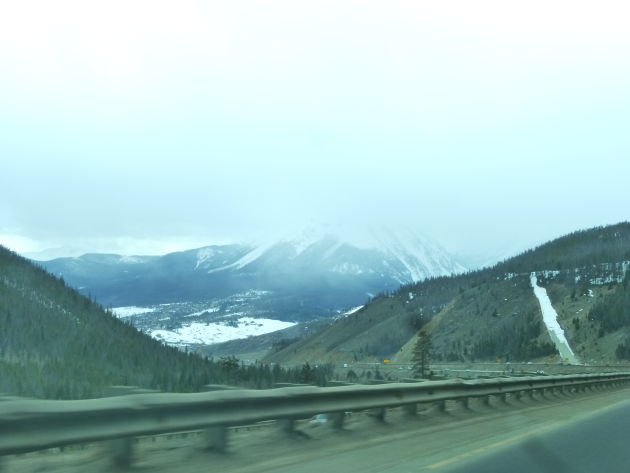
Getting steep.
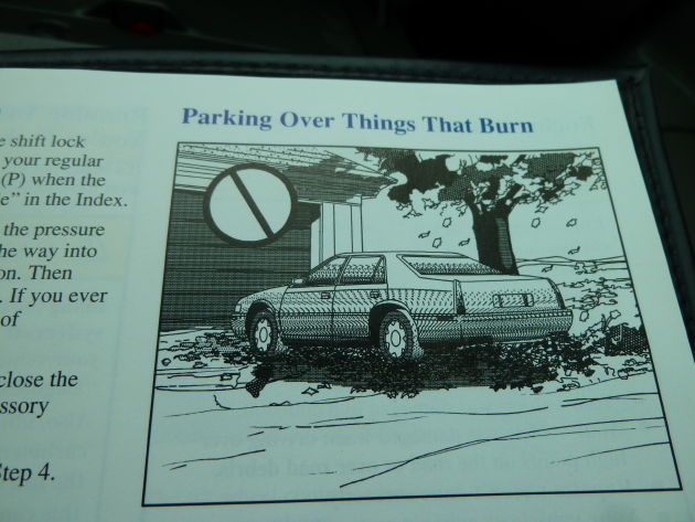
I got bored and flipped through the Seville owners manual and noticed this oddity, a four-door sedan with the back end of an Eldorado coupe. Was this Cadillac’s original plan for the 90s Seville?
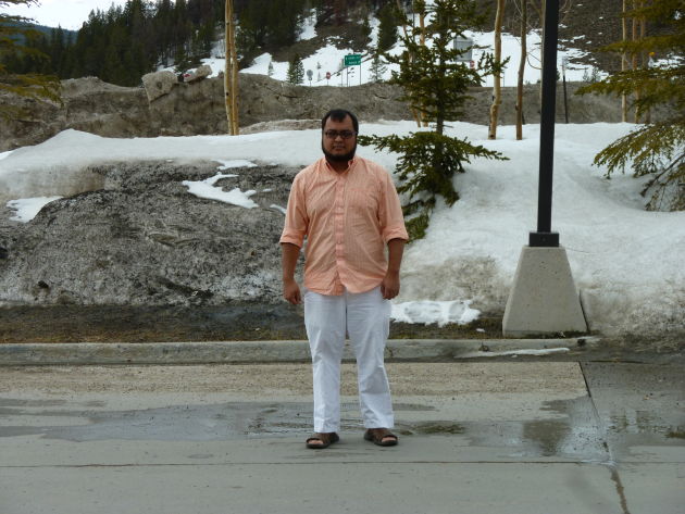
Here I am dressed for the wrong season in the wrong state.
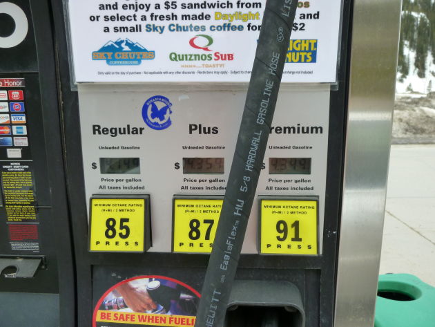
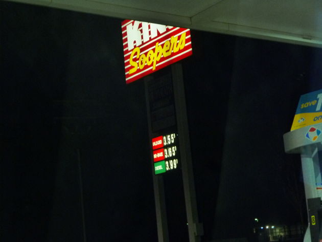
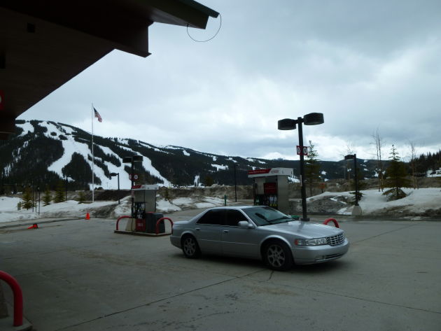
Pricey fuel up here in the mountains. We were next to some ski resort.
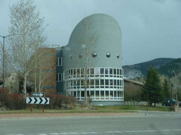
Interesting architecture. I believe this was near Grand Junction CO. We stopped at a Denny’s here. Thanks to Colorado’s outstanding mountain drinking water, everything from the tap at Motel 6 to the fountain Coca Cola at Denny’s tasted a hundred times better.
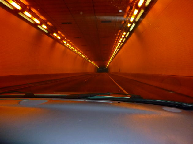
A tunnel.
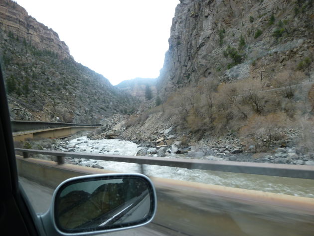
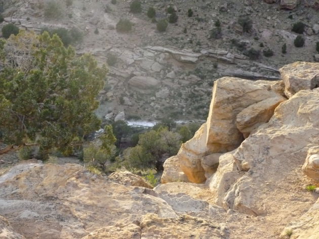
Creek alongside I-70
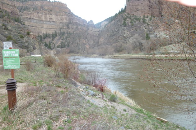
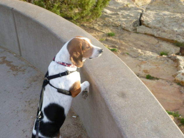
Stopped at Hanging Lake Trail and took the dog out for relief.
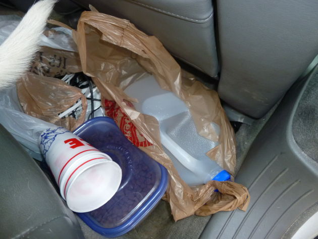
I packed water cups, plenty of food, and a jug of water for Newton. The water was also in case the engine decided it didn’t want to retain its coolant.
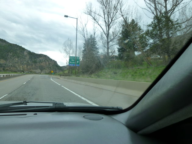
The exit for this trail/rest area is called “NO NAME”
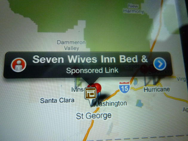
Looked for hotels in Utah. They seem to have a sense of humor about polygamy.
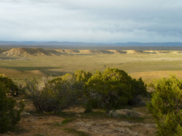
Utah is strikingly beautiful.
Even Newton is amazed by the scenery.
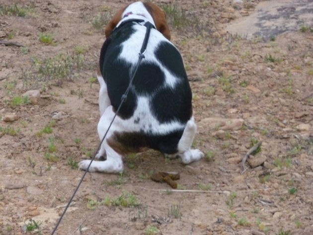
He decided it was a breathtaking place to pinch a loaf. Don’t worry, I picked it up.
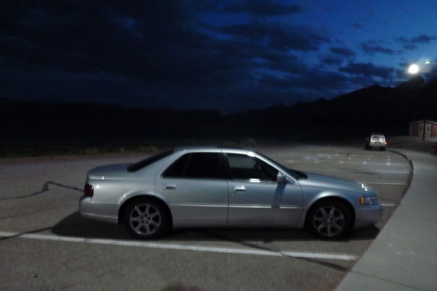
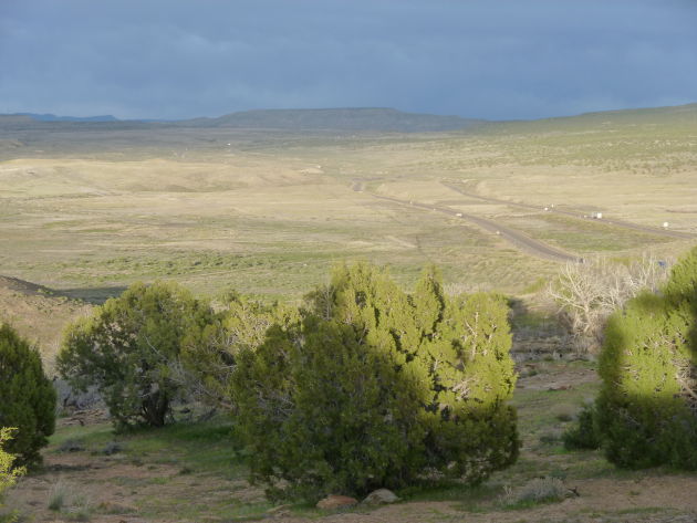
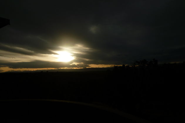
Ended up at a rest area in the middle of nowhere on I-15.
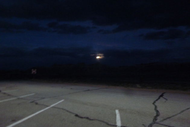
It was so quiet it was spooky.
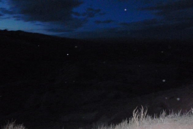
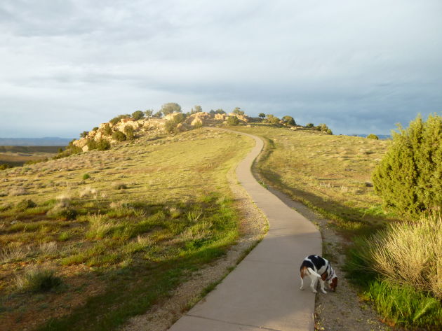
We walked up a steep hill and tried to get a glimpse of our surroundings with the little bit of light we had left.
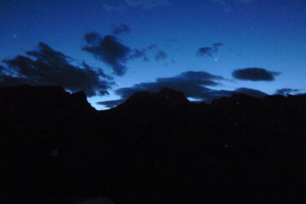
In the daylight:
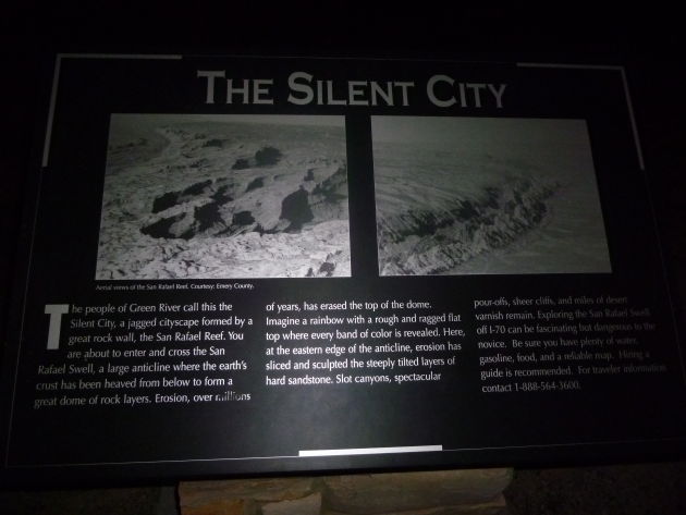
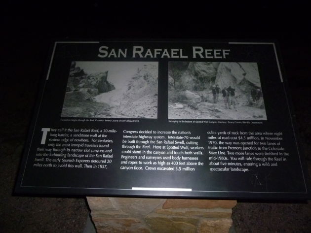
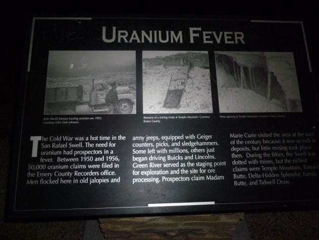
http://en.wikipedia.org/wiki/San_Rafael_Reef
“The San Rafael Reef is a geologic feature located in Emery County in central Utah, part of the Colorado Plateau. Approximately 75 miles (120 km) long, it is the name given to the distinctive eastern edge of the San Rafael Swell. Composed primarily of steeply tilted layers of Navajo and Wingate Sandstone, it has been eroded into tall fins, domes, cliffs, and deep canyons.
The San Rafael River, Interstate 70, and Muddy Creek all cut through the San Rafael Reef. There are also numerous slot canyons that twist their way through the flanks of the San Rafael Reef, among them Crack Canyon, Chute Canyon and Straight Wash. These spectacularly beautiful canyons are often less than a few feet wide and can be hundreds of feet deep. Much of the San Rafael Reef has been determined to possess wilderness characteristics and the Crack Canyon and Mexican Mountain Wilderness Study Areas, or WSAs, currently protect several thousand acres of the most worthy areas of the San Rafael Reef and are awaiting an overdue designation as BLM Wilderness by the Congress.”
It got dark very quickly. Other than the solar-charged LED lights in the parking area and my camera flash, the place was pitch black. It was completely, eerily silent.
Fast Tube by Casper
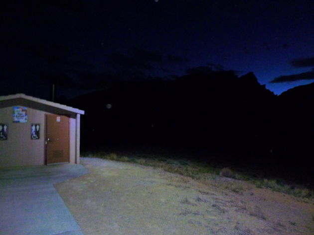
I took care of business here. I made sure to check for bats before entering.
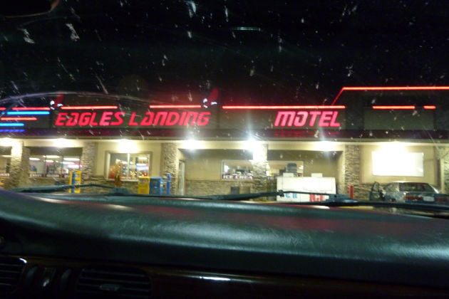
This gas station/motel uses Star Trek fonts.
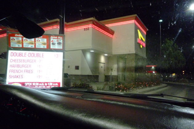
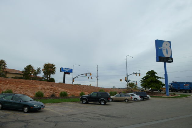
We made it to St George UT where we checked into a Motel 6. I HAD to stop at In & Out, a west-coast establishment I hadn’t enjoyed since 2006.
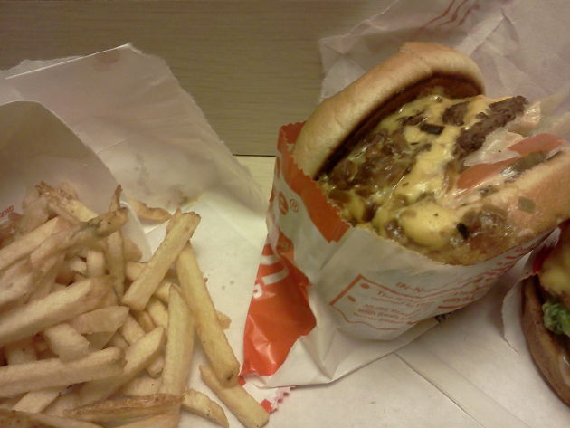
SO GOOD. The fries sucked, but the burger was AMAZING.
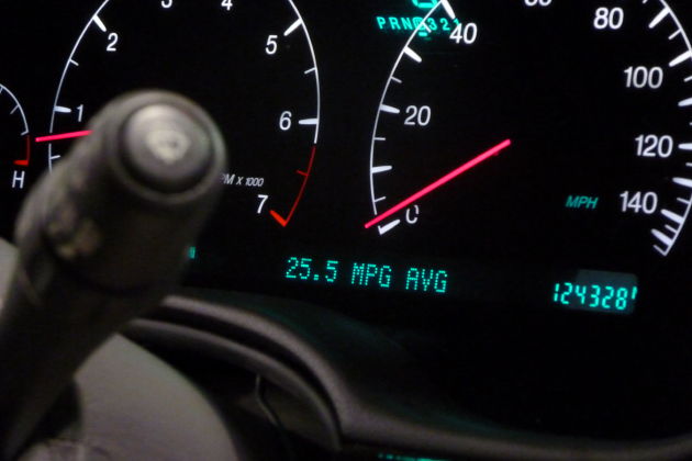
Unusually excellent fuel economy.
Next morning.
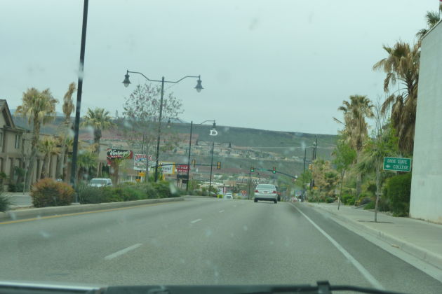
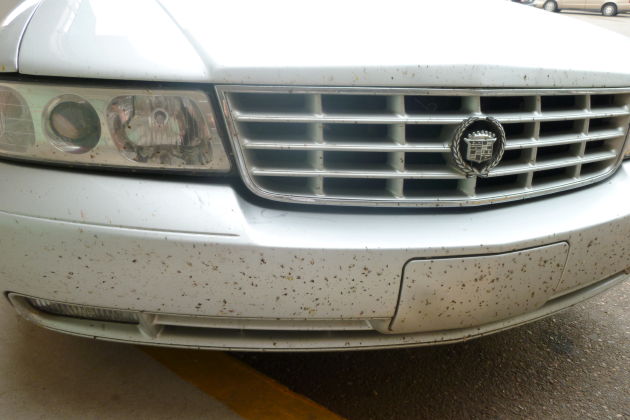
Looked around for a car wash in St George, gave up.
I-15 westbound
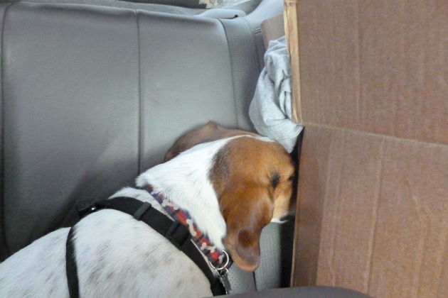
Again, Newton sticks his head behind the box and takes a nap.
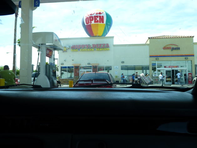
North Las Vegas is a bit unpleasant. I noticed a lot of gas stations out west use these annoying pay stations, located separately from the pump, where you run your card, specify the pump you’re using, and pay a small transaction fee.
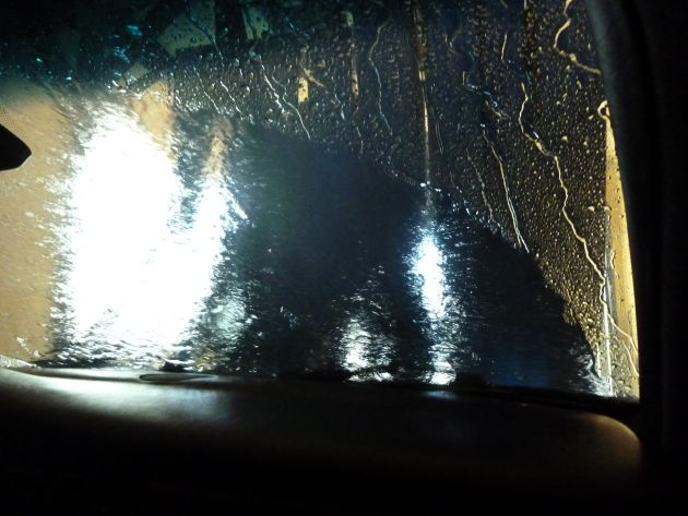
Washing off 1600 miles of filth.
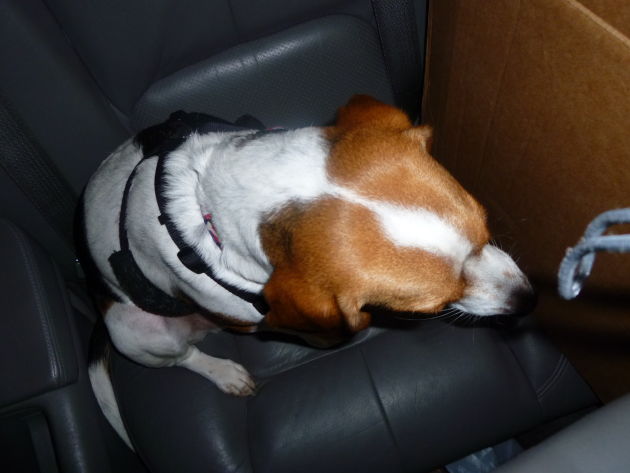
Newton was shaking. He HATES water.

Approaching Las Vegas